FlyPix: Revolutionizing Geospatial Intelligence with AI
Discover the power of FlyPix's AI-Enabled Geospatial Solutions. Transform object detection, tracking and monitoring with precision & efficiency for multiple industries.
| Semrush rank: | 1.5m |
| Location: | Tempe, United States of America |
| Tech Used: | Animate.css, PHP, Apache HTTP Server, WordPress, |
Features
- AI-Enabled Object Detection: Detect and localize objects with high accuracy using FlyPix's vast library of AI models or customize your own.
- Detailed Object Analysis: Analyze objects in-depth, including type, area, and size for comprehensive insights.
- Change and Anomaly Detection: Monitor environmental changes and anomalies with advanced AI algorithms for timely interventions.
- Dynamic Tracking: Track object changes and movements precisely to stay informed in real-time.
- Custom Use Cases: Personalize FlyPix's AI solutions to meet unique industry requirements efficiently.
- User-Friendly Interface: Navigate, visualize and report geospatial data seamlessly with a superior user experience.
- Efficiency and Cost Savings: Reduce time and resources spent on remote inspections and analyses through AI automation.
- Competitive Advantage: Gain a leading edge leveraging deep learning technology for rapid and precise insights.
Use Cases:
- Government: Utilized in waste management, road inspections, and other governmental operations.
- Construction: Enables accurate site inspections and progress tracking for construction projects.
- Renewable Energy: Critical for infrastructure monitoring, including solar and wind installations.
- Agriculture & Farming: Supports crop scouting, disease detection, and livestock management processes.
- Risk Management: Provides rooftop and household risk assessments for improved safety and mitigation.
- Oil & Gas: Assists in oil spill detection and infrastructure surveillance.
- Forestry & Ecotechnology: Facilitates tree counting, illegal logging detection, and waste monitoring.
- Smart City: Drives smart urban planning, waste management, and construction monitoring.
- Port operations: Enhances port and harbor surveillance and management.
- Mining: Improves haul road monitoring and maintenance, and open-pit mine surveillance.
FlyPix is your AI companion in unlocking the full potential of geospatial data across industries. By harnessing AI technology, FlyPix allows for smart, efficient, and cost-effective solutions that give companies a competitive advantage in monitoring, planning, and risk management. Its diverse applications and personalized approach make it an unrivaled choice for those seeking to innovate and improve their geospatial capabilities.


FlyPix AI Alternatives:

1. GeoSpy
GeoSpy AI enhances image analysis and tracking with geolocation and AI capabilities.

2. TensorPix
Enhances media projects with advanced AI tools for efficient video and image processing.

3. Flyx
Flyx Labs creates personalized AI companions and colleagues for daily and professional use.
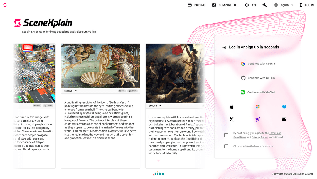
4. SceneXplain
AI generates captions, summaries for images, videos enhancing SEO, accessibility.
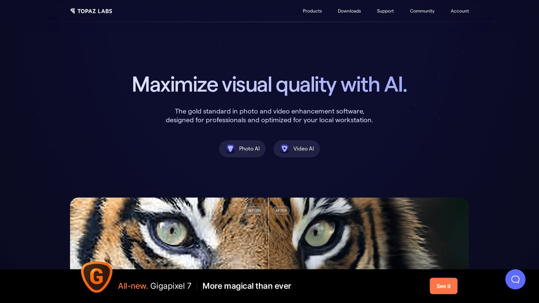
5. Gigapixel AI
Enhance photos, videos with AI; professional-grade tools for workstation optimization.